

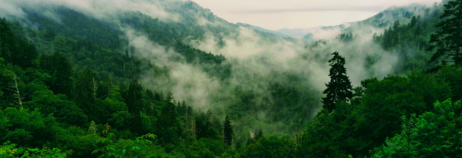
Forestry and Environment

You can observe and manage world cultural heritages such as vast forests and national parks around the world based on information on vegetation conditions, density, soil moisture, and so on obtained from satellite imagery data. In addition, it can be used to track and observe natural environments such as glaciers and rainforests that have recently faced a crisis due to extreme climate change.
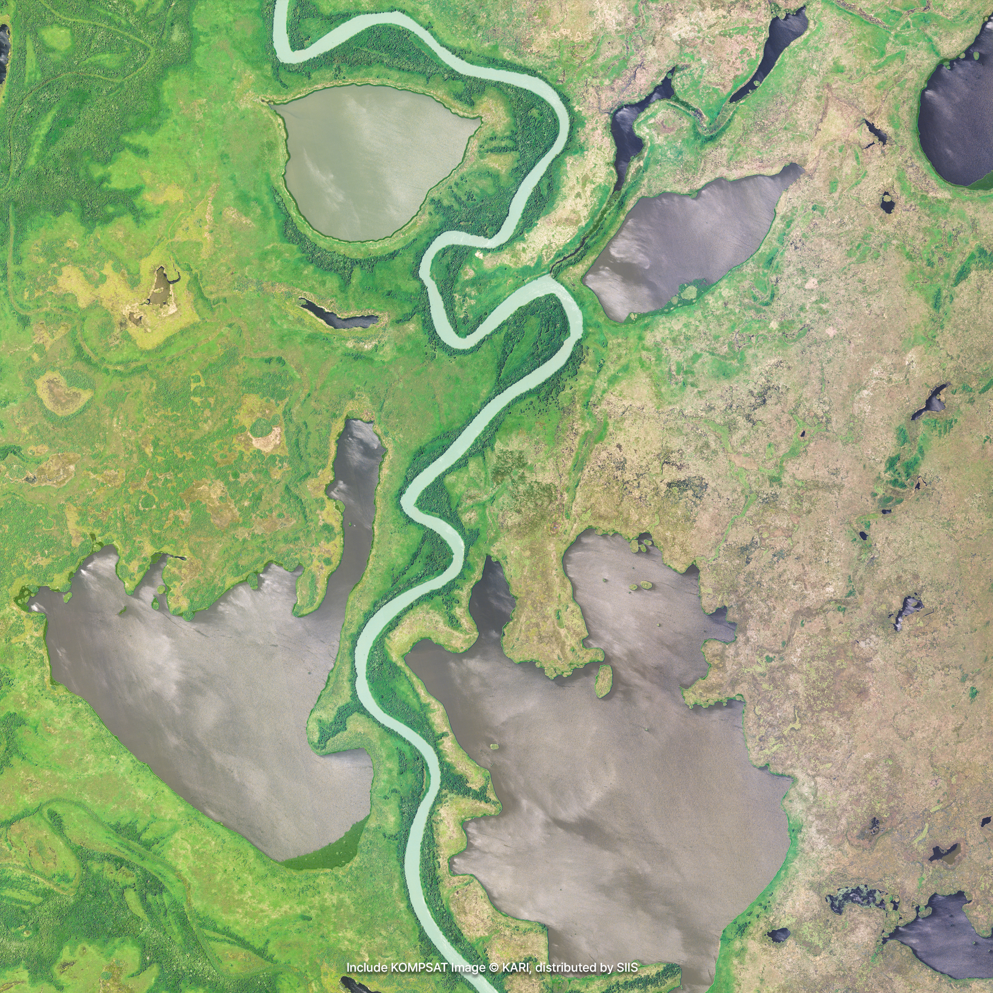
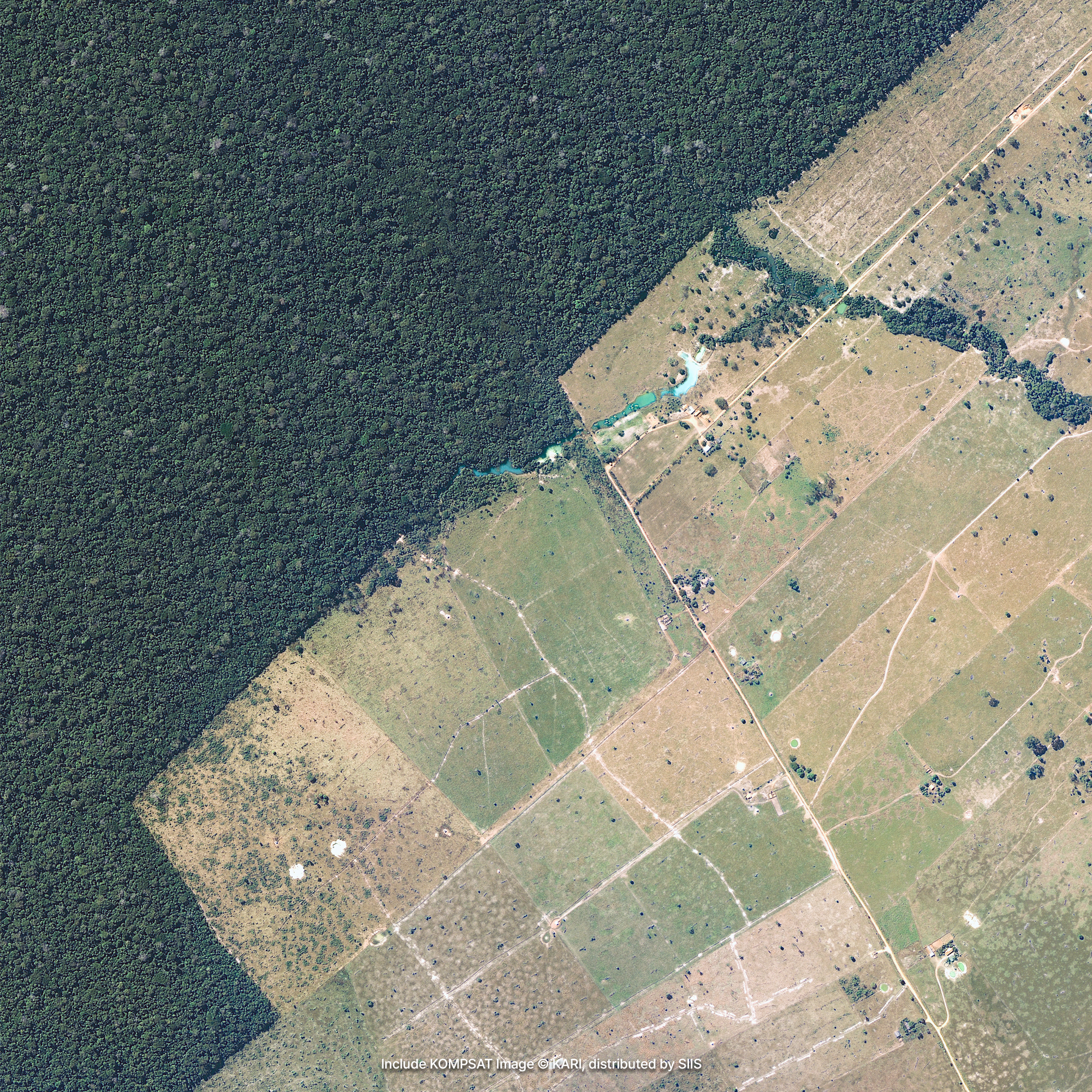
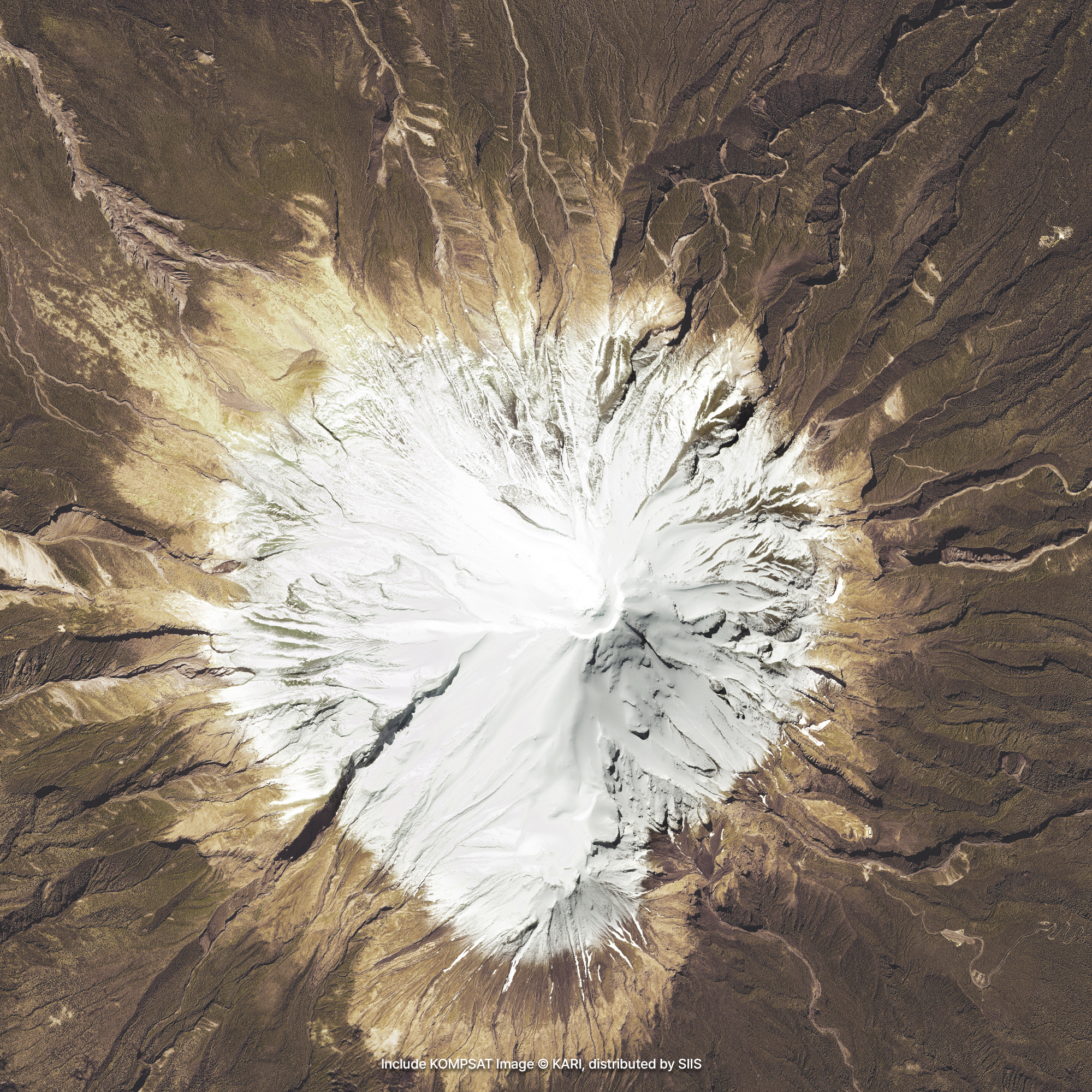
Sample Imagery
Applications

Investigating Vegetation State
The images captured by KOMPSAT have a spectral resolution that consists of NIR (Near Infrared), R, G, and B bands. Among them, the NIR band reflects more and appears bright red in images of healthy vegetation, while areas with less or unhealthy vegetation appear darker. Using these features, it is possible to easily obtain information such as the health status and density of vegetation that makes up a forest even in a wide area of the hectare unit.

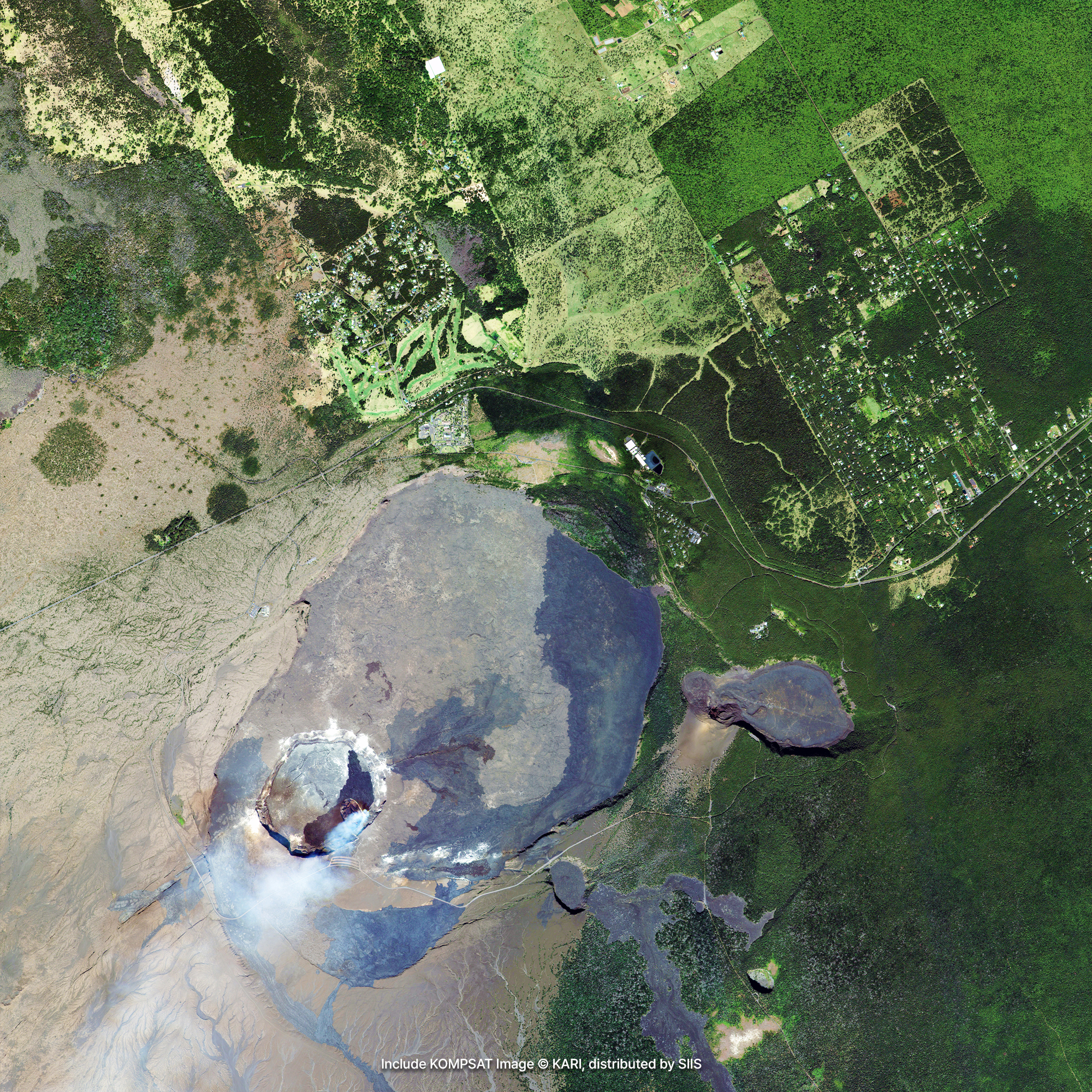
Managing Forests and National Parks
Deforestation due to wildfire, uncontrolled logging and development, and climate change is becoming more frequent, but monitoring its progress periodically is not easy. Accurately identifying changes in forests and locating the many logging and deforestation activities occurring around the world is even more difficult. KOMPSAT regularly monitors forests to provide the information needed to manage protected areas in a sustainable manner. You can gain valuable information about the impact of deforestation and changes over time.

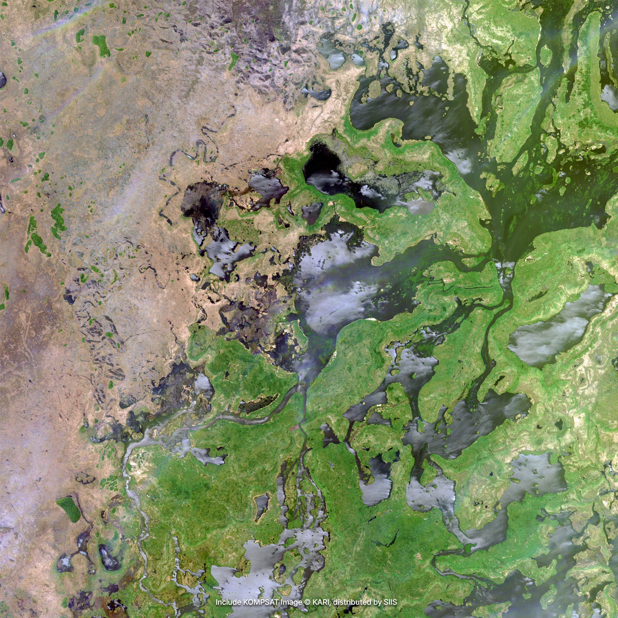
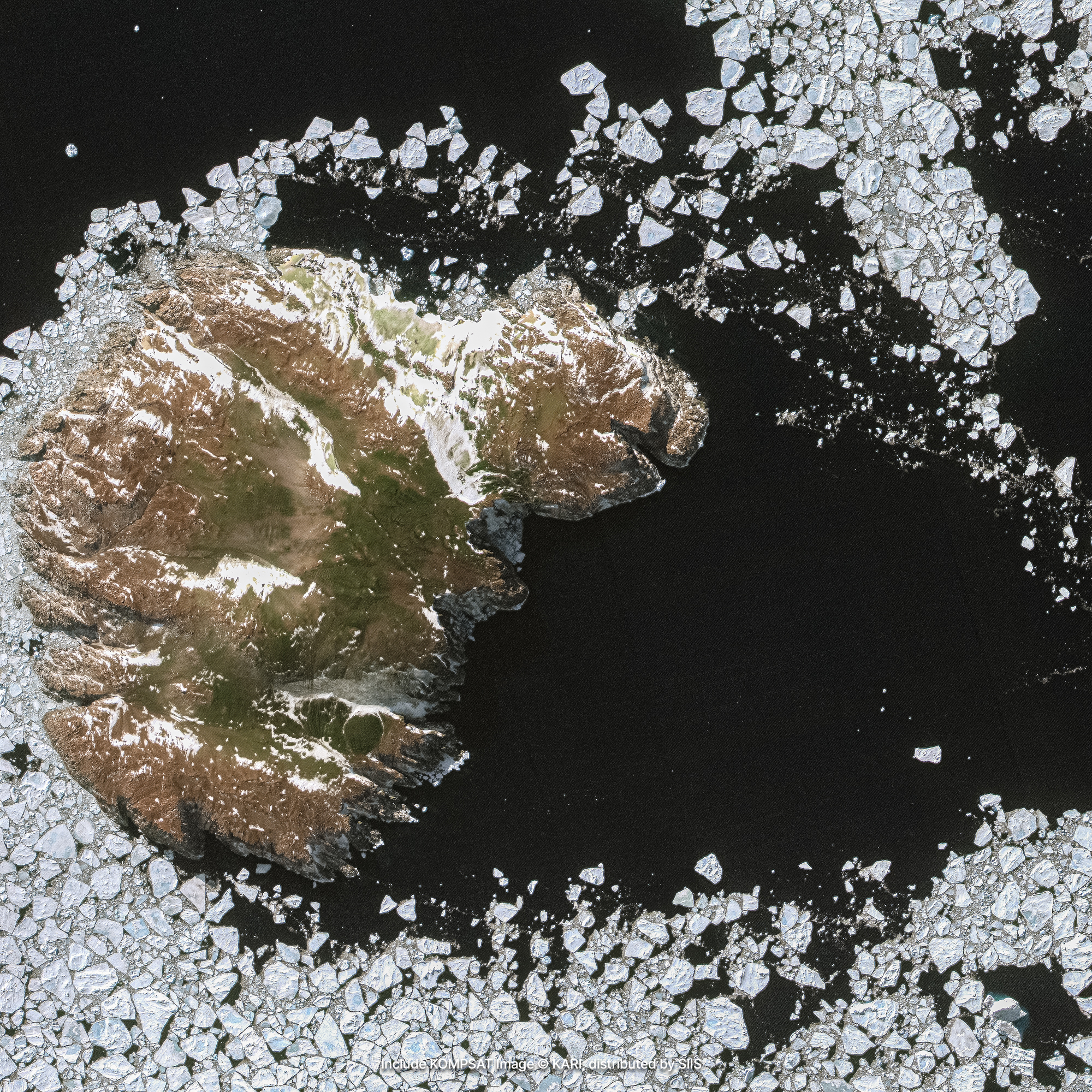
Observing Glaciers and Rainforests
Along with the climate crisis, glaciers in the Antarctic, Arctic, and alpine regions are melting more and more rapidly, and oil and gold mining, or excessive logging are illegally occurring in tropical forests. These remote areas, which are difficult to observe normally in person, are more difficult to manage in sustainable way. Satellite imagery makes it easy to observe the changes taking place in vast remote areas such as glaciers and rainforests without being in the field.
Get in Touch
Send us your inquiries, and we’ll respond promptly.
ADDRESS : 21, Yuseong-daero 1628beon-gil, Yuseong-gu, Daejeon, Republic of Korea 34054TEL : 042-341-0401
Copyright 2025 SIIS. All rights reserved. Admin