

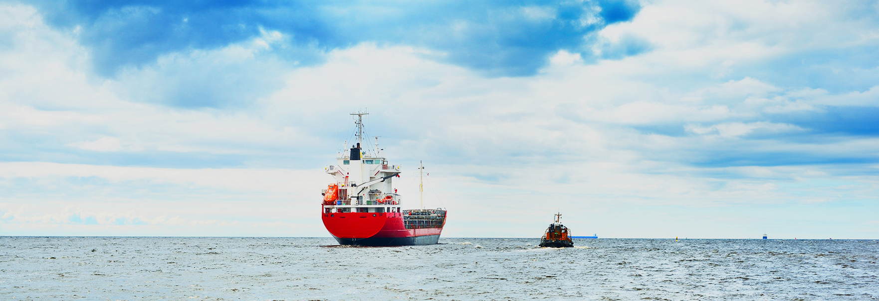
Maritime

SAR satellite images can be used to detect illegal ships or to observe oil spills caused by accidents such as ship collisions or rollovers. Recently, cases of using satellite images to develop autonomous ship systems are emerging.
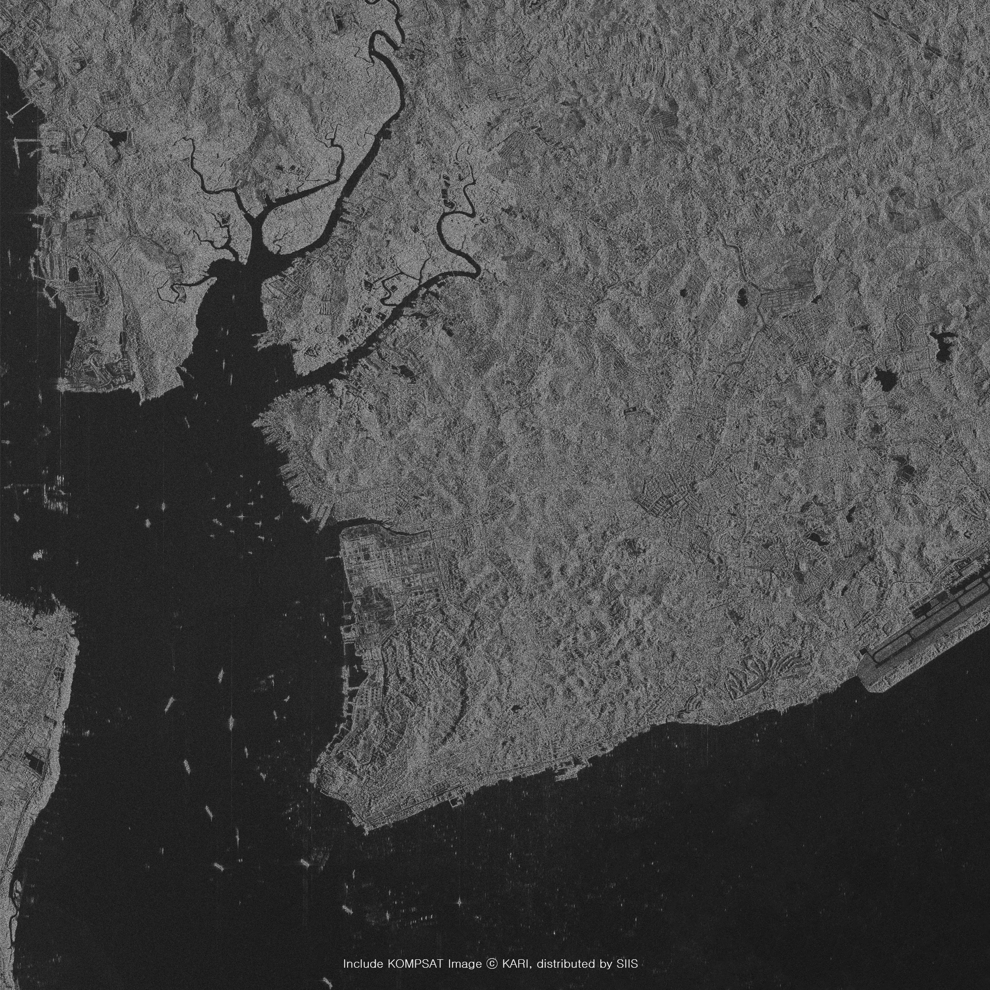
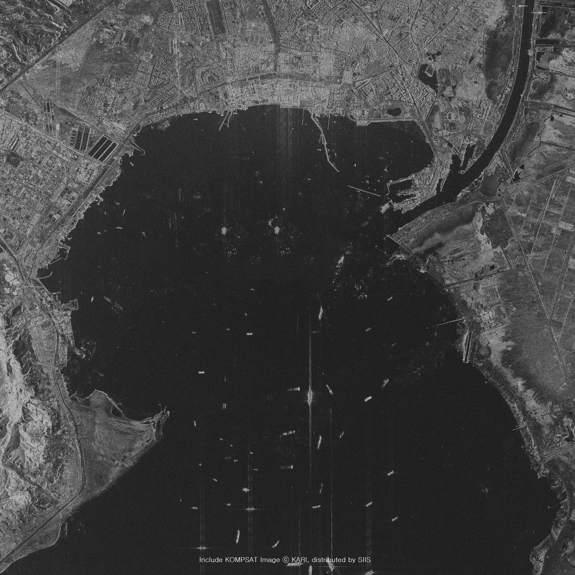
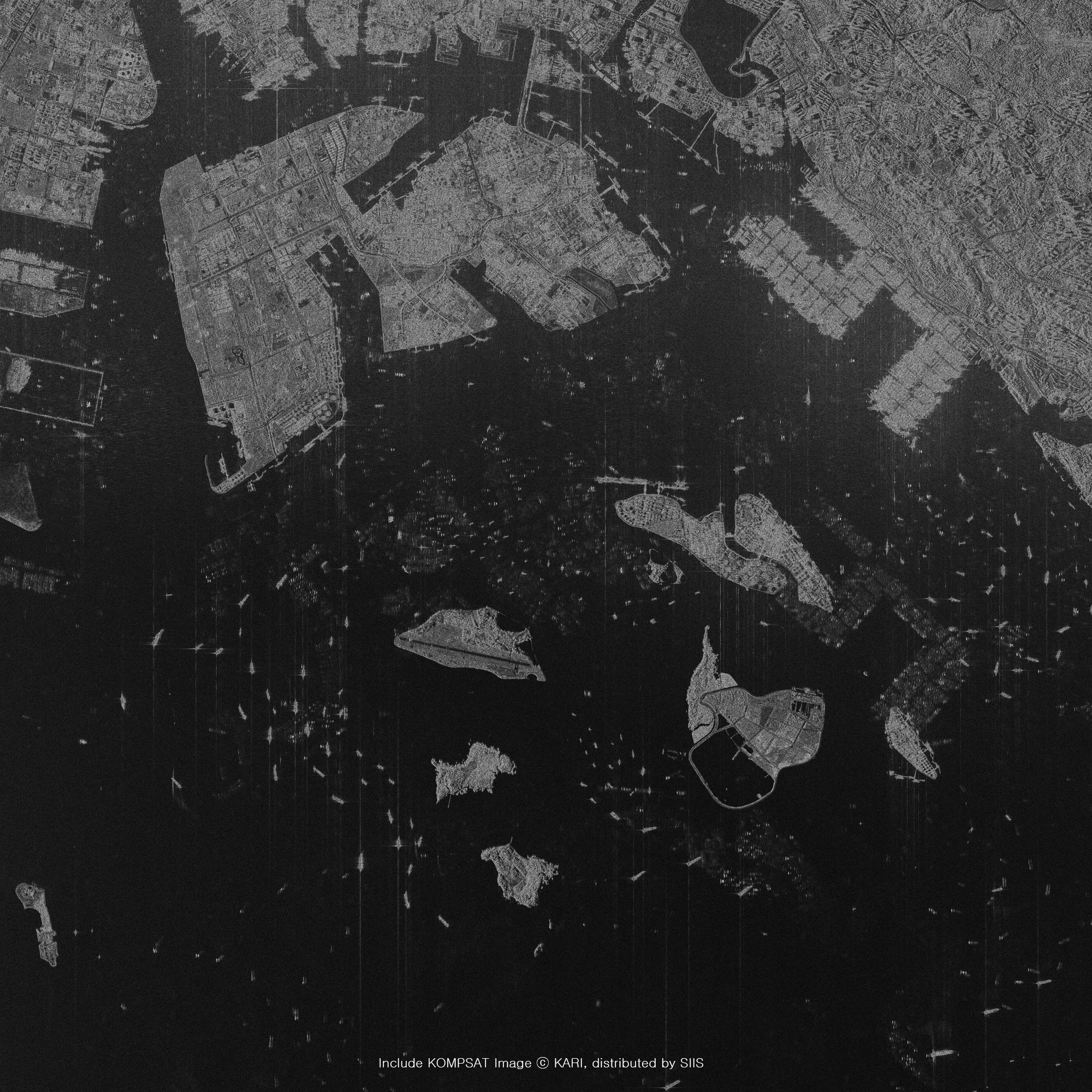
Sample Imagery
Applications

Illegal Vessel Detection
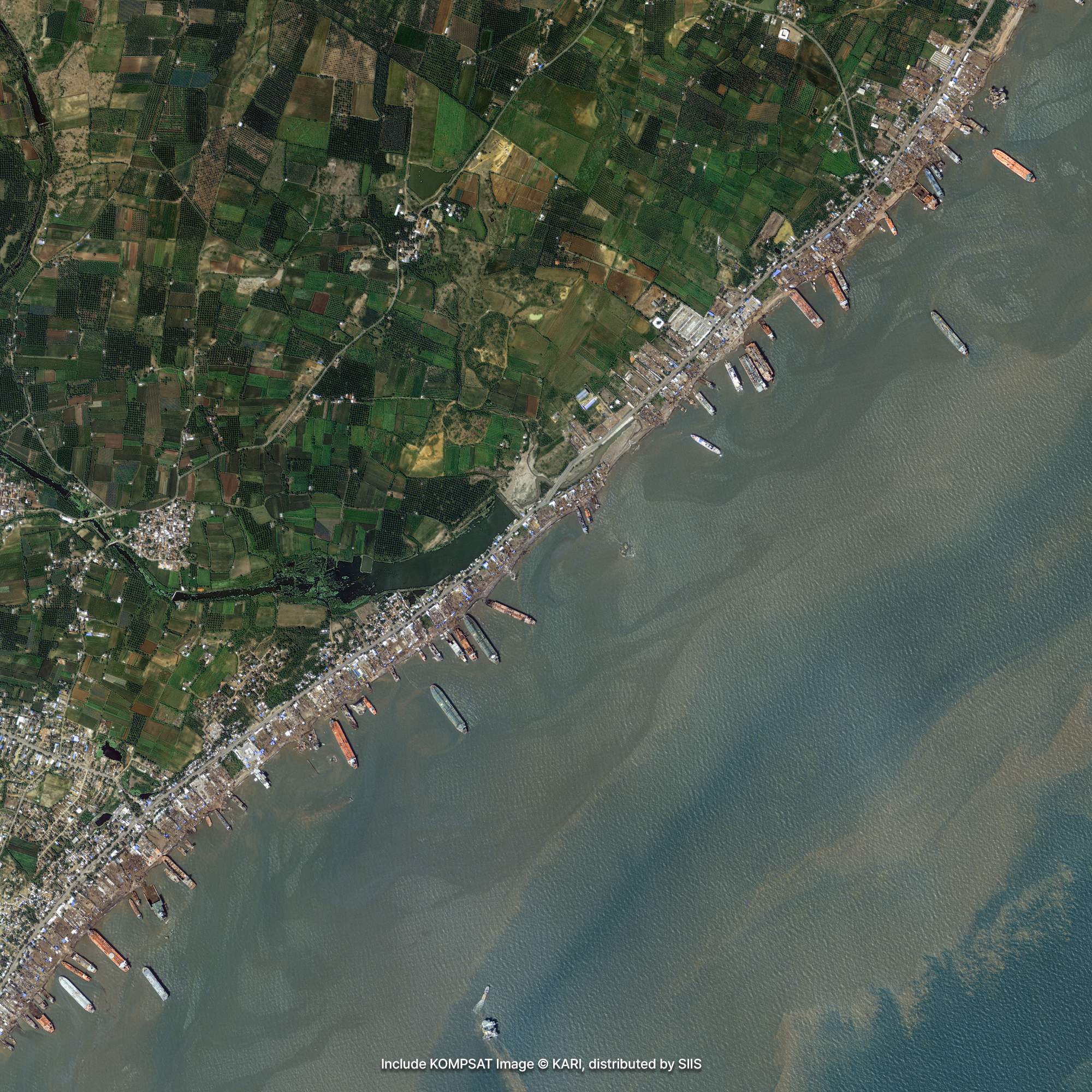
KOMPSAT images currently have very high spatial resolution, up to 0.4m. Therefore, even if a ship arbitrarily turns off the location tracking device and engaging in illegal fishing, it is detected through the image taken by the satellite. Legally registered vessels must be equipped with an Automatic Identification System (AIS) that informs the vessel's location and route, but illegal fishing vessels do not use it. Therefore, it is possible to find out which ships are illegal by analyzing the time and location signals obtained from satellite images

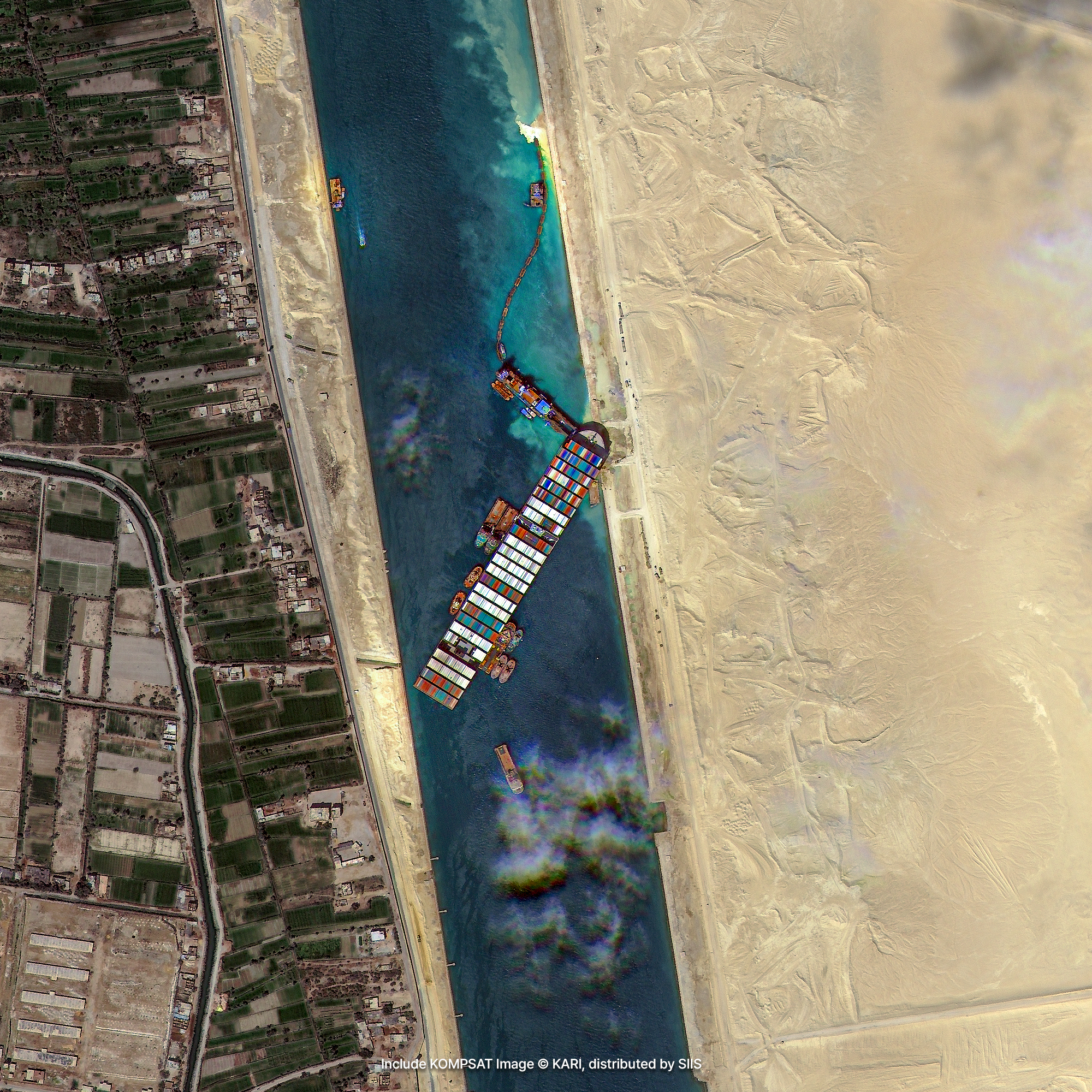
Oil Spill and Ship Accidents
SAR satellites are mainly used to detect ships because they are used day and night and are weather-independent. The images of KOMPSAT-5 using this radar can detect illegal fishing boats that are difficult to be found at a glance without being affected by weather and environment. You can also observe oil spills and ship crashes. On the other hand, it is also used to observe changes in chlorophyll due to environmental changes, such as temperature changes in seawater and the spread of red tide.
Get in Touch
Send us your inquiries, and we’ll respond promptly.
ADDRESS : 21, Yuseong-daero 1628beon-gil, Yuseong-gu, Daejeon, Republic of Korea 34054TEL : 042-341-0401
Copyright 2025 SIIS. All rights reserved. Admin