




Infrastructure

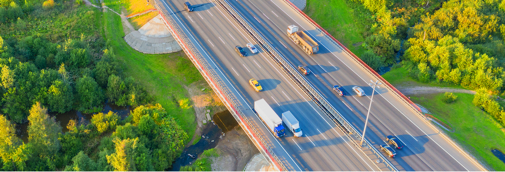
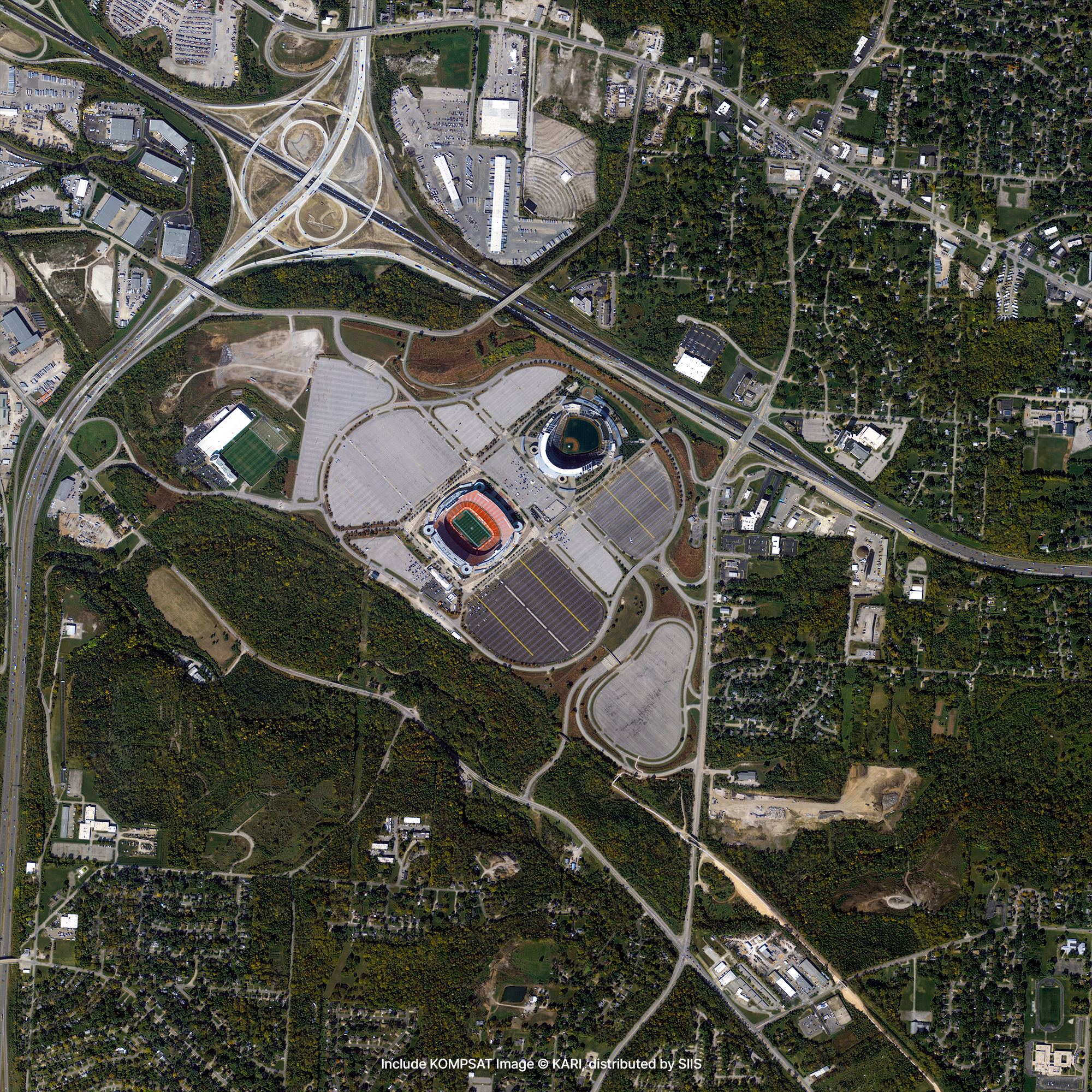
Satellite imagery helps you easily monitor the overall development status and progress of large-scale construction sites such as roads, bridges, highways, or city constructions. When satellite images are taken at night, the standard of living and economic scale of the country or region can be estimated from the lights of streetlights and buildings. If images of high-rise buildings under construction from the same angle are repeatedly collected at the same time, it is possible to calculate the height of the building, or check if it was completed on time.
Sample Imagery
Applications

Large-Scale Infrastructure Construction
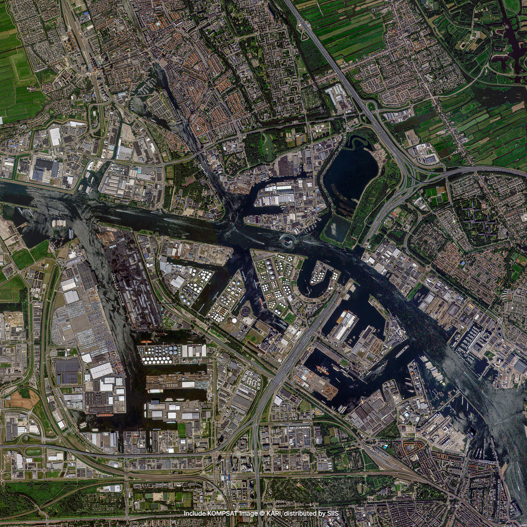
Our VVHR and VHR imagery serves as an invaluable asset for monitoring construction milestones by periodically observing mega-scale infrastructure projects worldwide. For instance, high-resolution satellite data has successfully tracked the development of monumental engineering feats, such as the 3.6 km Çanakkale Bridge in Turkey (the world’s longest suspension bridge) and the 15.5 km breakwater in Basra, Iraq (the world’s longest breakwater). By capturing consistency-locked imagery of large-scale bridges, roads, and civil engineering facilities from identical angles over time, project managers can accurately calculate asset dimensions, track structural progress, and audit whether construction is advancing on schedule.

Urban Change Detection
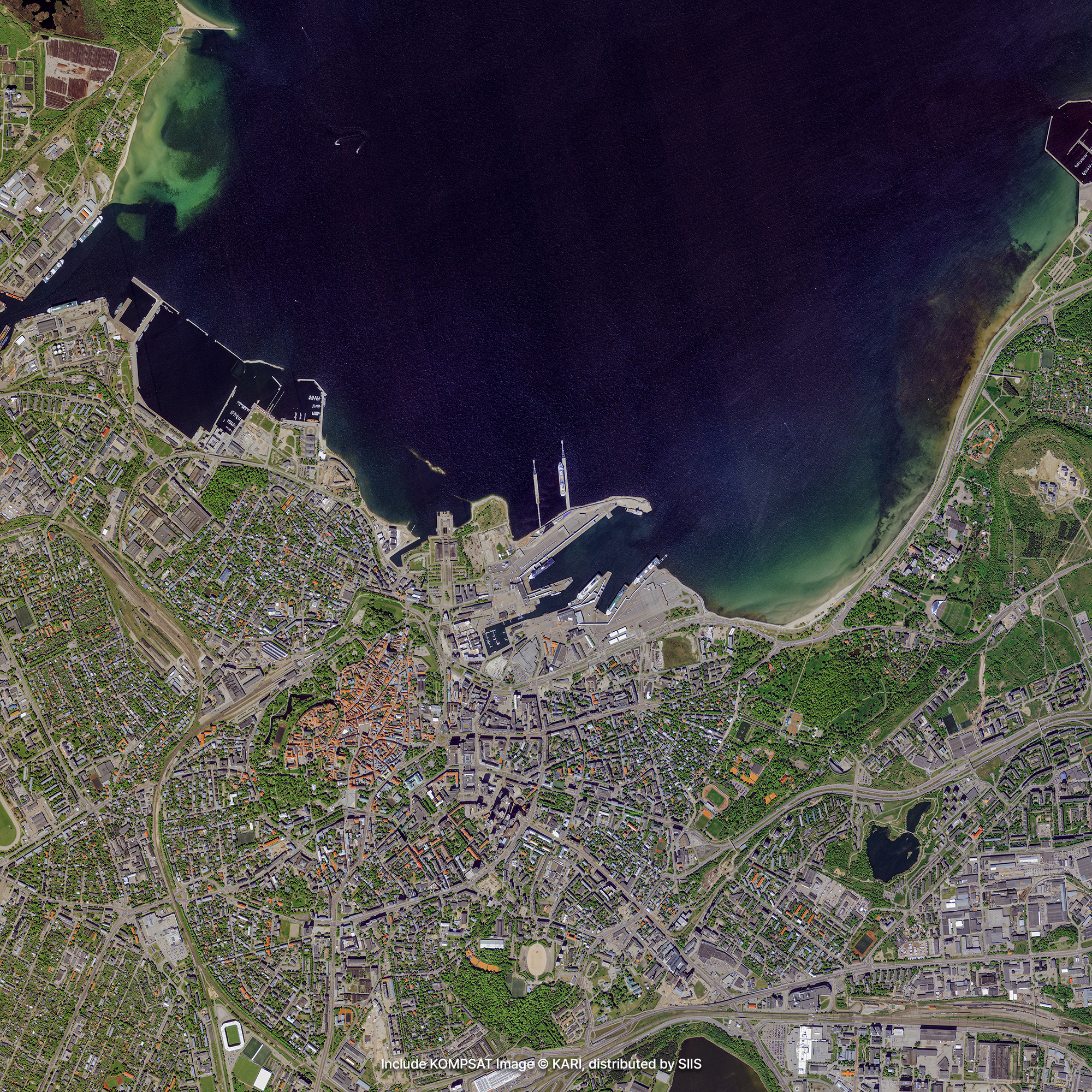
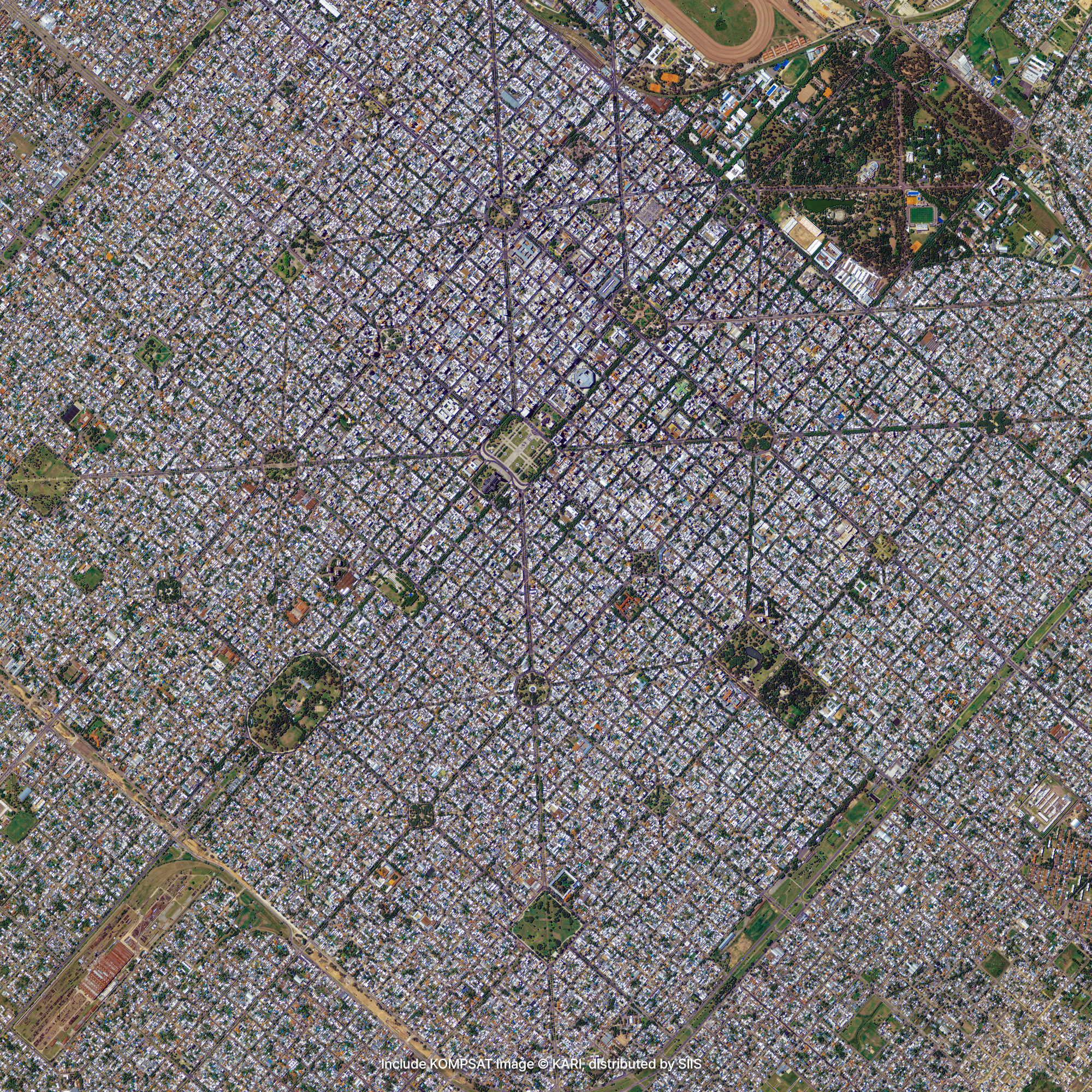
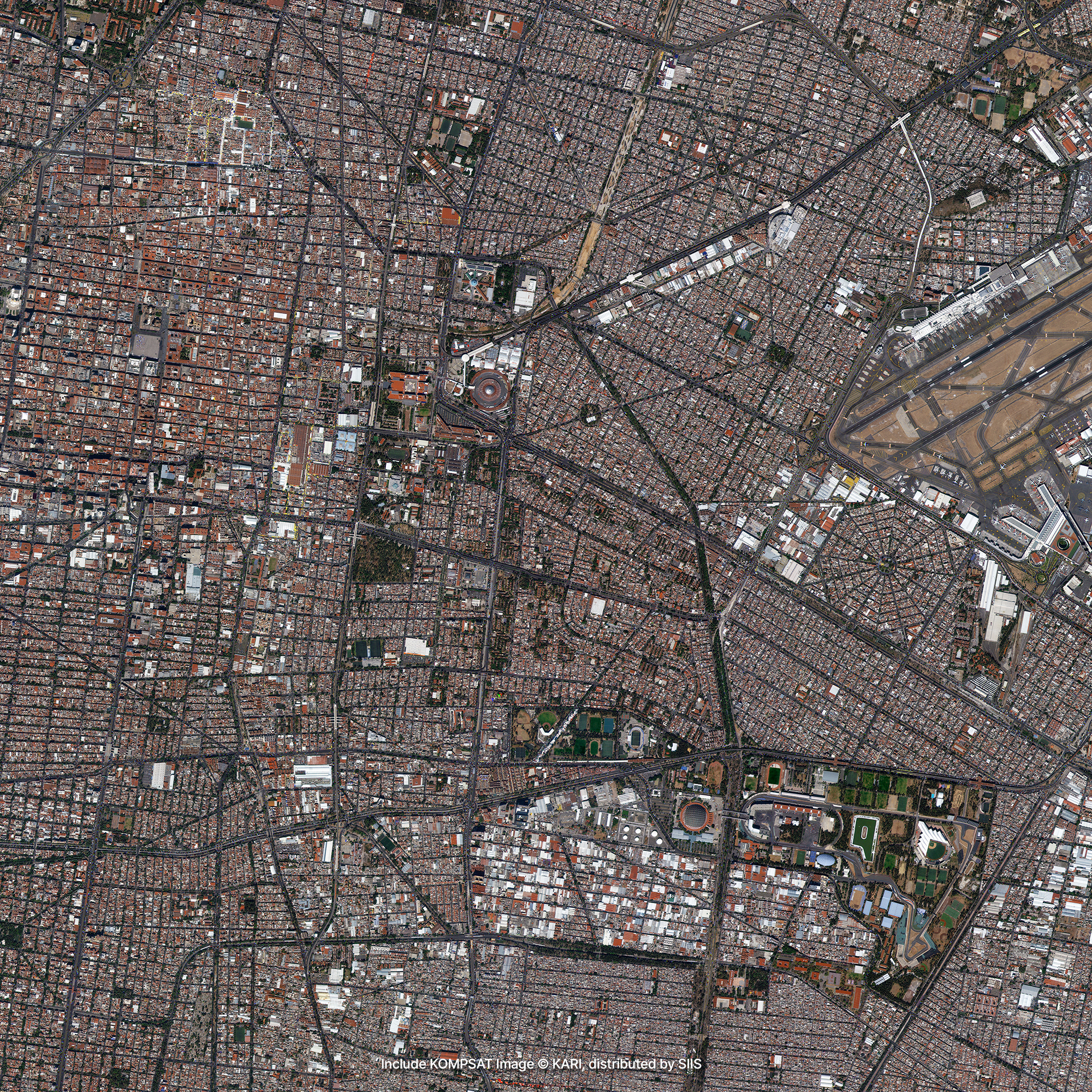
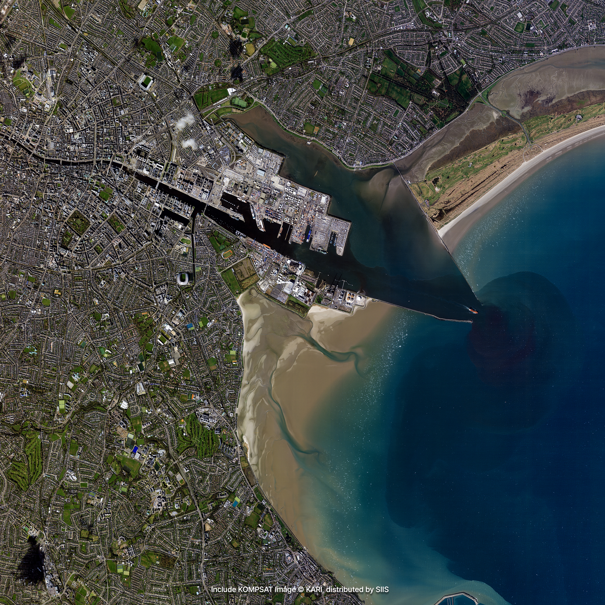
Organic, naturally evolving cities grow by adapting to the surrounding environment, resulting in a dense, complex matrix of irregular road networks and heterogeneous land uses. In contrast, planned new towns display formal, linear, and highly structured geometric patterns. With the precise pixel granularity provided by our VVHR and VHR imagery, these morphological nuances can be analyzed with extreme precision. The sharp resolution allows automated algorithms and analysts to detect micro-changes in urban density, building footprints, and neighborhood blocks, turning raw imagery into actionable spatial intelligence.

Economic and Urban Planning
Satellite imagery provides a unique lens for macroeconomic and demographic analysis. High-resolution night-time imagery allows economists to estimate living standards and regional economic scales based on the luminosity of streets and commercial buildings. During the day, the ultra-sharp definition of our VVHR and VHR imagery enables the monitoring and counting of individual vehicles in supermarket or warehouse parking lots, serving as a reliable proxy for consumer activity and supply chain health. Additionally, by capturing synchronized imagery of adjacent regions or peri-urban fringes, urban planners can identify undeveloped pockets, forecast expansion trends, and design balanced regional development strategies.
Get in Touch
Send us your inquiries, and we’ll respond promptly.

ADDRESS : 21, Yuseong-daero 1628beon-gil, Yuseong-gu, Daejeon, Republic of Korea 34054TEL : 042-341-0401
Copyright 2025 SIIS. All rights reserved. AdminFAMILY SITE