

SIIS


Korean Multipurpose Satellite was developed by Korea Aerospace Research Institute (KARI) and is also called KOMPSAT. SI Imaging Services has been responsible for commercial distribution of KOMPSAT images worldwide since 2014.
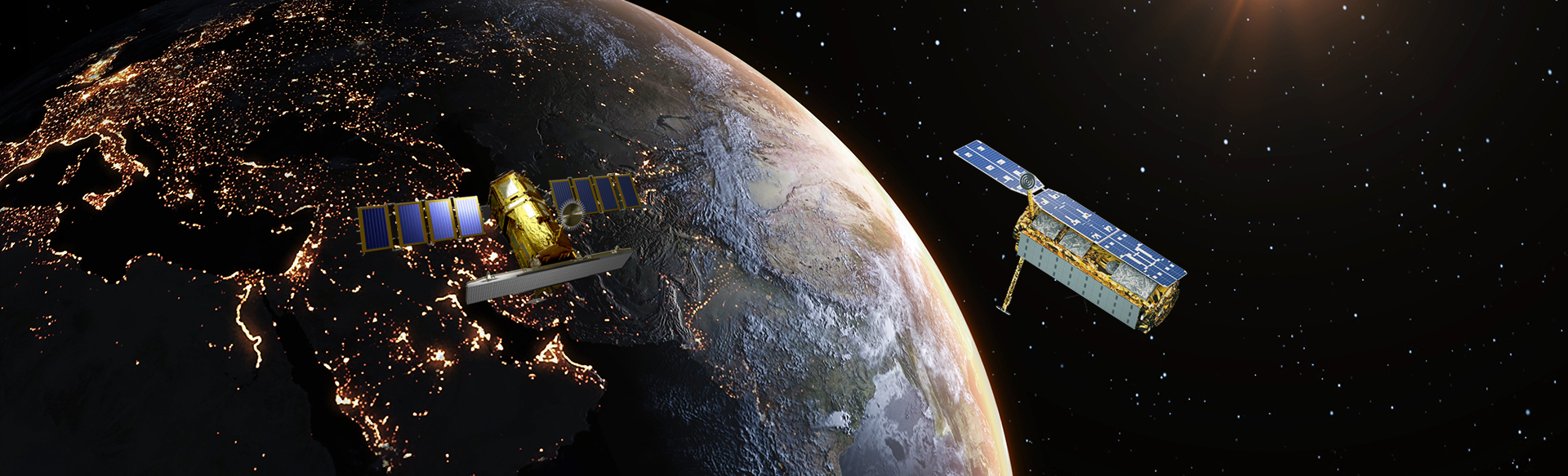
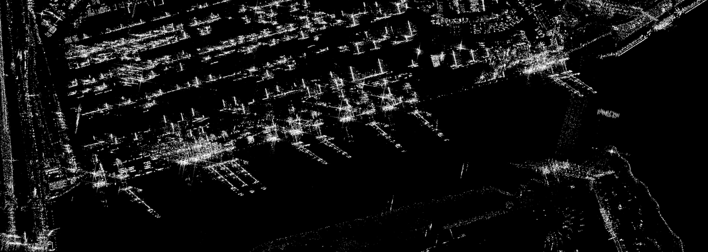
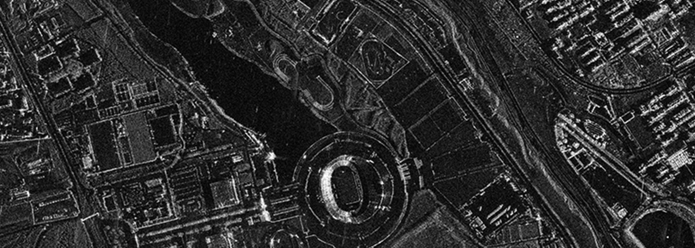
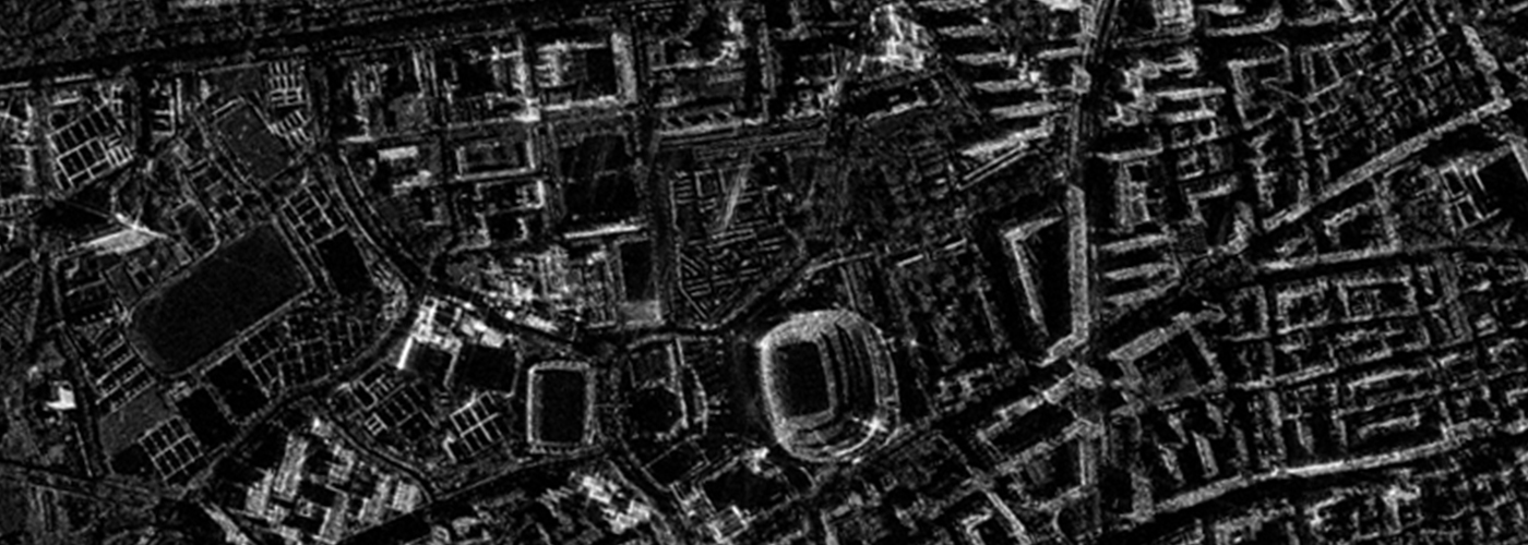
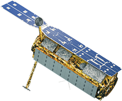
KOMPSAT-5 is the earth observation satellite equipped with SAR (Synthetic Aperture Radar) for the first time in Korea, aiming for all-weather terrestrial and marine observation.
SAR satellites radiate microwaves to targets on the ground and synthesize the reflected signals to acquire images. Ground observation is possible day and night and in bad weather. SAR satellites radiate microwaves to targets on the ground and then synthesize the reflected signals to acquire images. Therefore, it observes the earth day and night and even in bad weather.
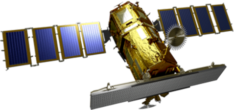
In 2025, KOMPSAT-6 which has a radar payload with 0.5m class is scheduled to be launched as a follow-up program to KOMPSAT-5.
Applications
Our ultra-high resolution optical imagery and SAR imagery are used in remote sensing,earth observation missions, and various industries around the world.


Specification
| Mission | All-Weather Earth Observation (SAR) |
|---|---|
| Resolution | Radar Image 0.5m/3m/20m |
| Bands | X-band SAR |
| Orbit | Sun Synchronous Orbit |
| Altitude | 685km |
| Weight | 1,750kg |
| Launch Vehicle | Vega-C (France) |
| Launch Date | In 2025 |
| Launch Site | Kourou, Guyana (French Territory) |
| Resolution | 0.85m |
|---|---|
| Bands | X-band SAR |
| Map Projection/Datum | UTM / WGS 84 |
| Location accuracy | 4.82m RMSE, 6.22m CE90 |
| Orbit | Sun Synchronous Orbit |
| Altitude | 550km |
| Inclination | 97.06deg. |
| MLTAN | 06:00, 18:00 (local time) |
| File format | HDF5 / GeoTIFF |
| Polarization | Single polarization (VV, HH, VH, HV) |
| Orbit Repeat Cycle | 28days |
Get in Touch
Send us your inquiries, and we’ll respond promptly.
ADDRESS : 21, Yuseong-daero 1628beon-gil, Yuseong-gu, Daejeon, Republic of Korea 34054TEL : 042-341-0401
Copyright 2025 SIIS. All rights reserved. Admin