SIIS
SIIS

ECOPIA
DIGITIZING THE WORLD USING AI
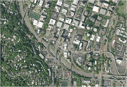
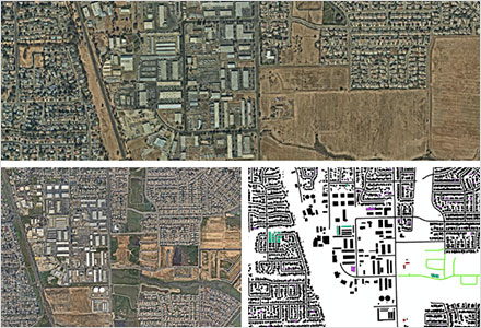
Ecopia AI leverages AI to convert high resolution images of the earth into HD Vector Maps. This digital representation of the real world offers unique insight for decision-making at-scale.
Go to Ecopia
Advantages 01
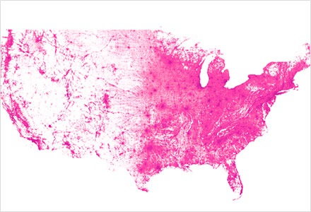
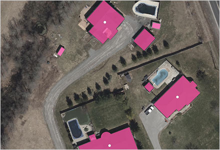
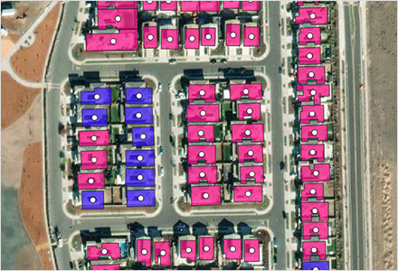
The most comprehensive, accurate, up-to-date Building-Based Geocoding
Ecopia's Building-Based Geocoding leverages the most up-to-date geospatial imagery available to create a unique source of ground truth,ensuring that our data provides the most accurate representation of reality.
Advantages 02
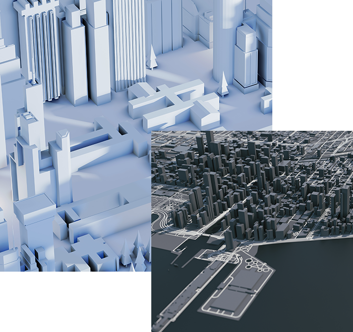
High-Precision 3D Vector Map
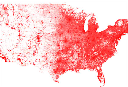
Derived from 6" and 12" resolution stereo aerial imagery,Ecopia's 3D Nationwide Landcover is a high-precision vector map covering the contiguous US,
Hawaii and major Alaskan metros.
